
Bukit Bubus
Paragliding site · Malaysia
- Launch altitude
- 50 m
- Level
- Ask the local school
- Best season
- —
- Landing
- Besut Paragliding Park Official
Works on NE · E
Photos
Shared by OutDare pilots
Where it is
Pilot rating
from 1 pilots
Saved by 16 pilots
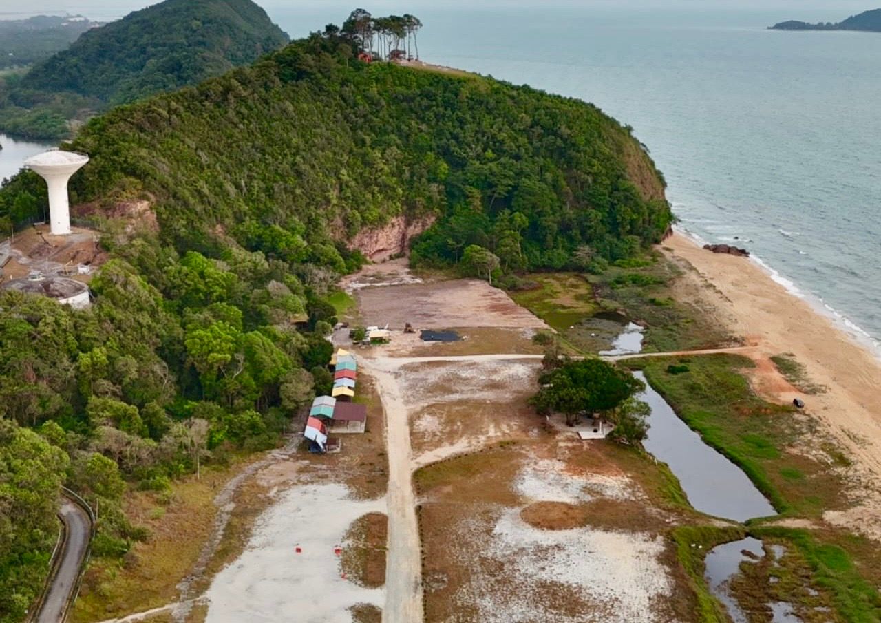
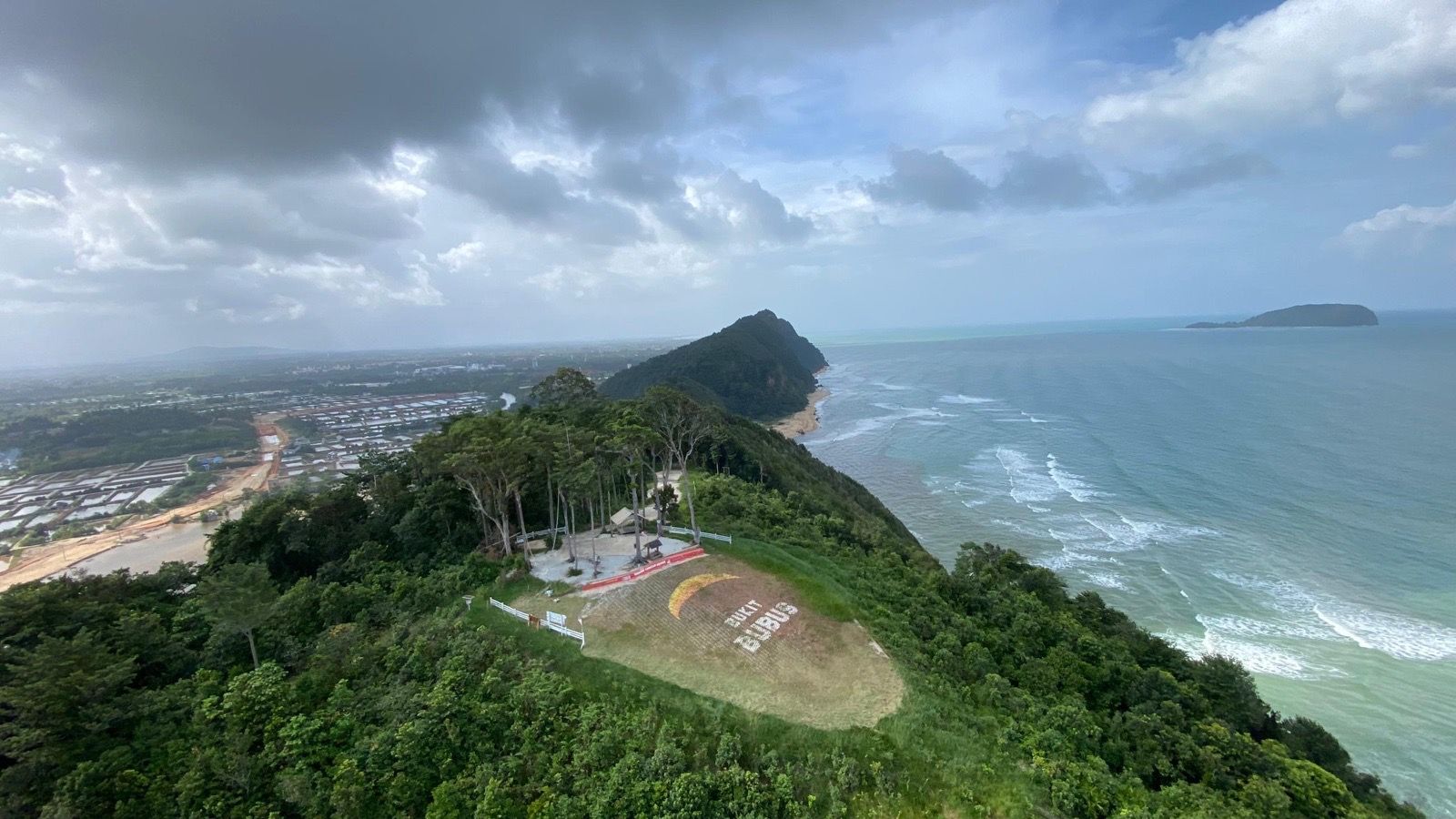
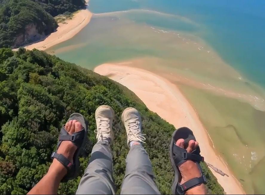
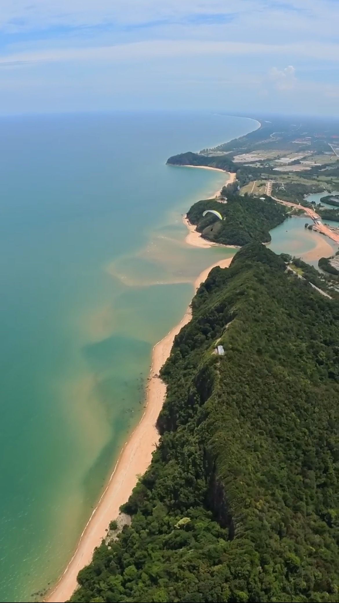
Bukit Bubus on Malaysia's east coast is a newly developed coastal site — a small hill 100 ft ASL facing NE, receiving constant sea wind all day long except during the monsoon (November–February). The launch is spacious and easy, with dynamic lift making long airtime straightforward, and once you have enough height you can hop to the adjacent hill for longer ridge soaring. It's very well suited to tandem flights thanks to the roomy launch, easy soaring and spacious beach LZ. Because the lift is dynamic only (no known thermal activity), it's hard to get above 1,000 ft.
Launch & conditions
Small hill at 100 ft ASL facing NE, receiving constant sea wind all day. Spacious, easy launch. Easy to stay airborne on dynamic lift. Once you have enough height, hop to the adjacent hill for longer ridge soaring. Very suitable for tandem flights.
Getting there & local rules
From Kuala Terengganu airport, head to Bukit Keluang in Kuala Besut. Near the destination, take the exit to Tembila and look for the access road to the beach — at the end of the road you can't miss the hill. From KL by car, about a 5-hour drive on the new highway. By flight, Kota Bharu airport is closer (about 40 km away). Landing: the wide beach area right next to the hill — plenty of space even for the most conservative pilots.
Check conditions before you fly
A forecast for the valley is not a forecast for the launch. Before heading to Bukit Bubus, read the wind and thermals for the site itself, confirm the day's rules with the local club, and remember the standing rule — when in doubt, don't launch. In the free OutDare app you can open Bukit Bubus with a 7-day forecast built from high-resolution weather models, see who else has been flying, and get there with offline maps.
Conditions right now
Live — the same sources the OutDare app uses
Loading live conditions…
Is it usually flyable? The 12-month record
In a typical 12–35 km/h wind range, Bukit Bubus offered a flyable window on 133 of 365 days (36%) over the last 12 months. Best month: March (97%).
| January81%25/31 | February68%19/28 | March97%30/31 | April90%27/30 | May35%11/31 | June7%2/30 |
| July10%3/31 | August0%0/31 | September3%1/30 | October10%3/31 | November3%1/30 | December35%11/31 |
A day counts as flyable when the surface wind held in your range, from a direction the site flies, with no rain, for at least 2 hours in a row (08:00–20:00) — from hourly 10 m wind over the last 12 months. A seasonal wind guide only: it can't judge gusts, thermals or turbulence, and never replaces the live forecast, airspace checks and your own judgement.
Is it usually flyable?
Set your wing's wind range once — the live 7-day outlook and the last 12 months both answer for Bukit Bubus.
Surface wind (10 m) in km/h — the same number you read on any forecast.
The 7-day outlook and the 12-month history below both update to your range.
Local pilots fly this site in 5–30 km/h
7-day wind outlook
High-resolution models — the same OutDare uses.
Loading the forecast…
Over the last 12 months
58% of days flyable
213 of 365 days had a dry 2-hour+ window in your range, from a direction this site flies
Best month
Mar · 100%
Flyable days by month
A day counts as flyable when the surface wind held in your range, from a direction the site flies, with no rain, for at least 2 hours in a row (08:00–20:00) — from hourly 10 m wind over the last 12 months. A seasonal wind guide only: it can't judge gusts, thermals or turbulence, and never replaces the live forecast, airspace checks and your own judgement.
Nearby flying sites
Site facts from the OutDare flying-site database. Always verify current access and regulations with the local club before flying.